|
|
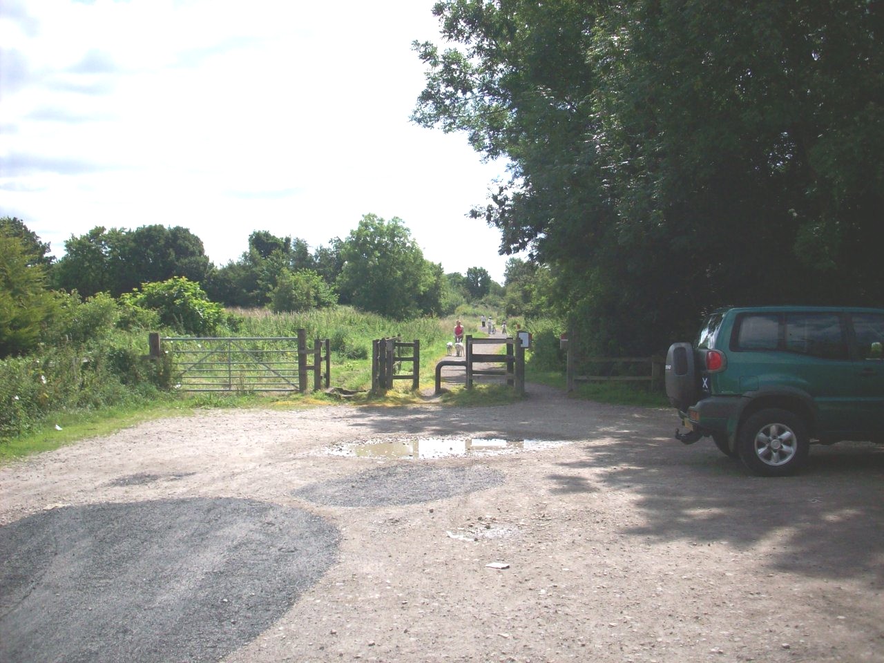
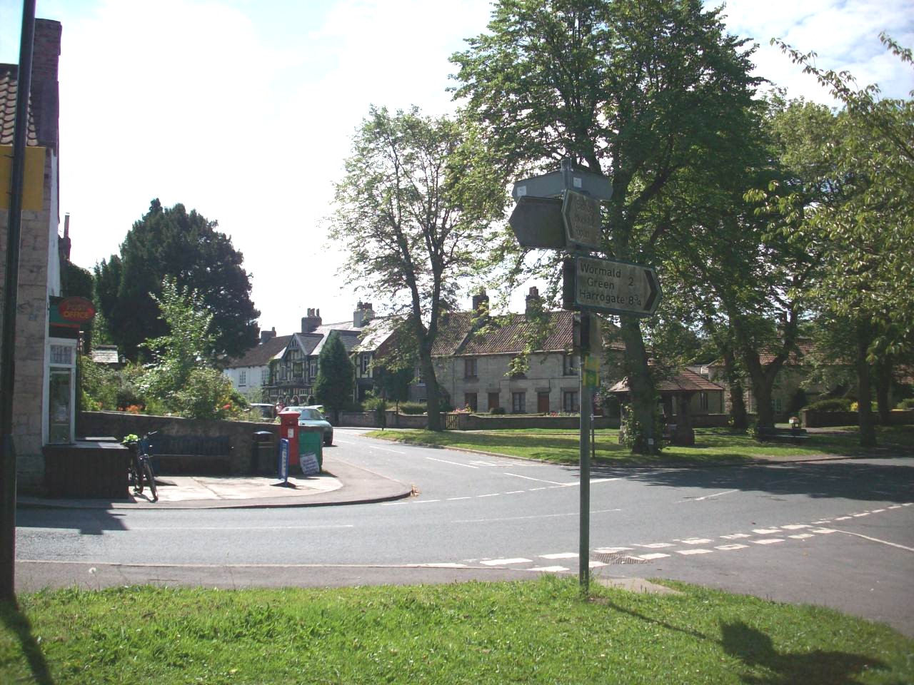
Start of the link route to Harrogate and Starbeck. This location is at the site of the old Bilton level crossing and now The Nidderdale Greenway. |
|
|
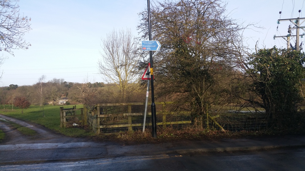
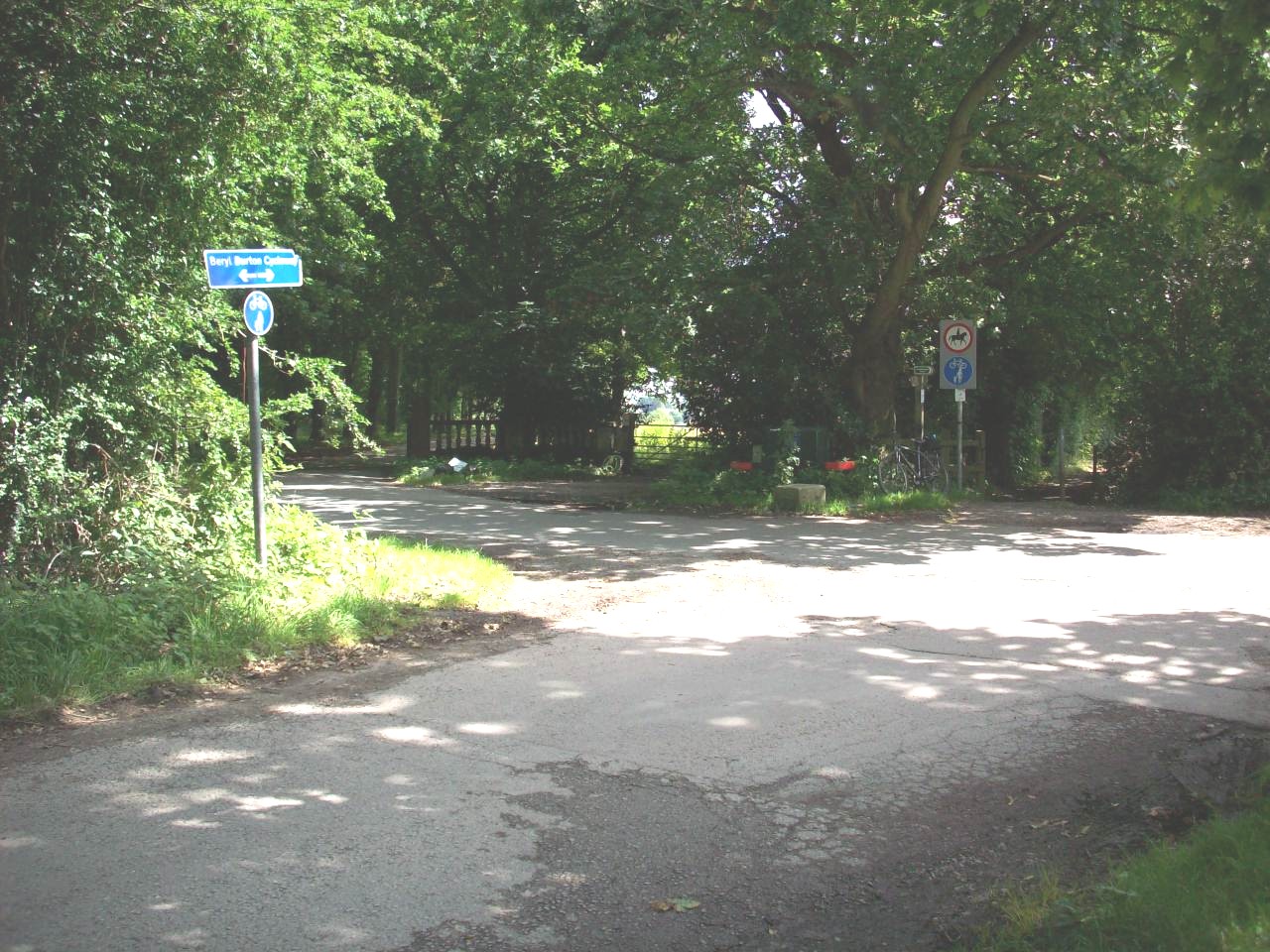
New signposting of The Beryl Burton Cycleway as you approach it from The Nidderdale Greenway at Bilton Lane Junction. |
|
|
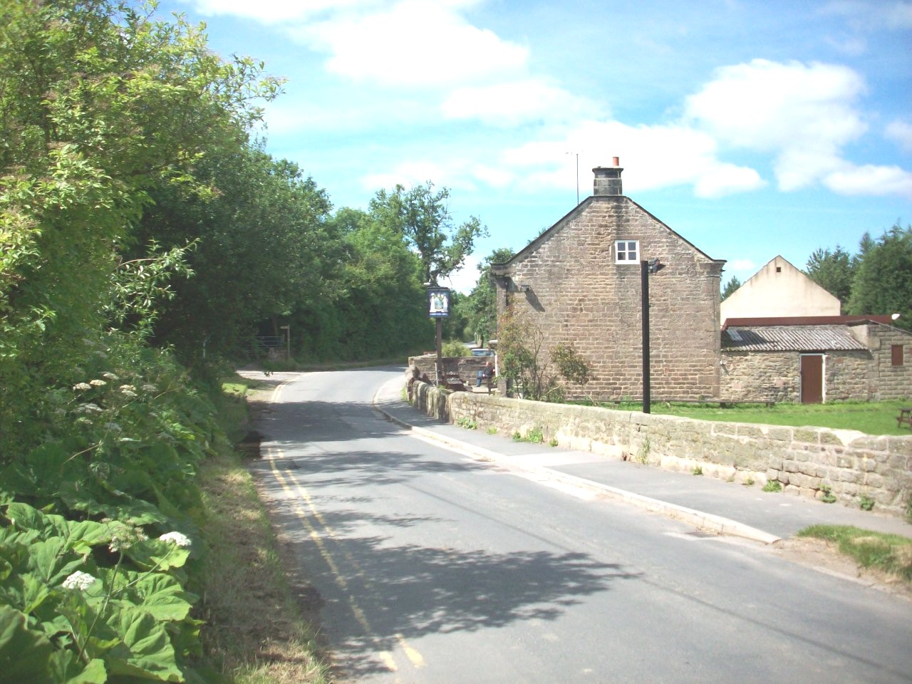
The Gardeners Arms Pub. Located in Bilton, On the spur to Knaresborough of national cycle route 67 and handy for a good pint after a day out cycling. |
|
|
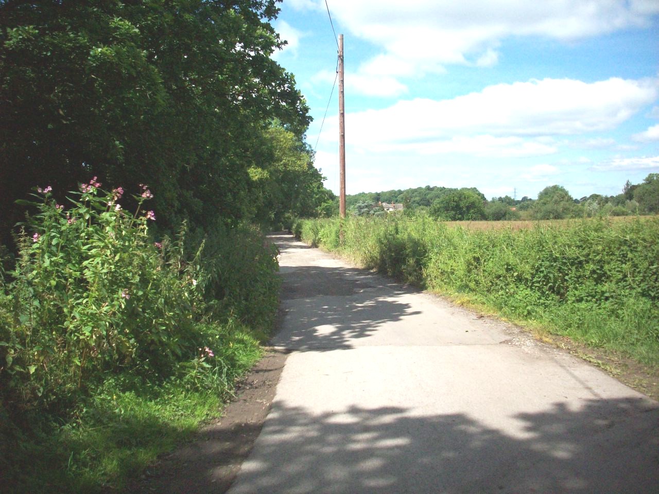
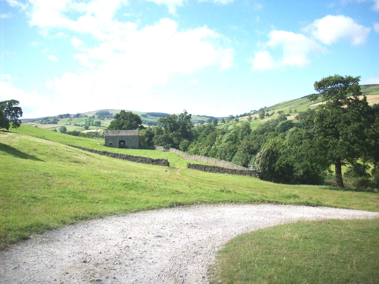
The Beryl Burton cycle route. This peaceful location is on the old Bilton track between Bilton Hall and The Caravan Site. |
|
|
The Start of the Beryl Burton cycle track and this locaton is at the entrance of Bilton Hall. |
|
|
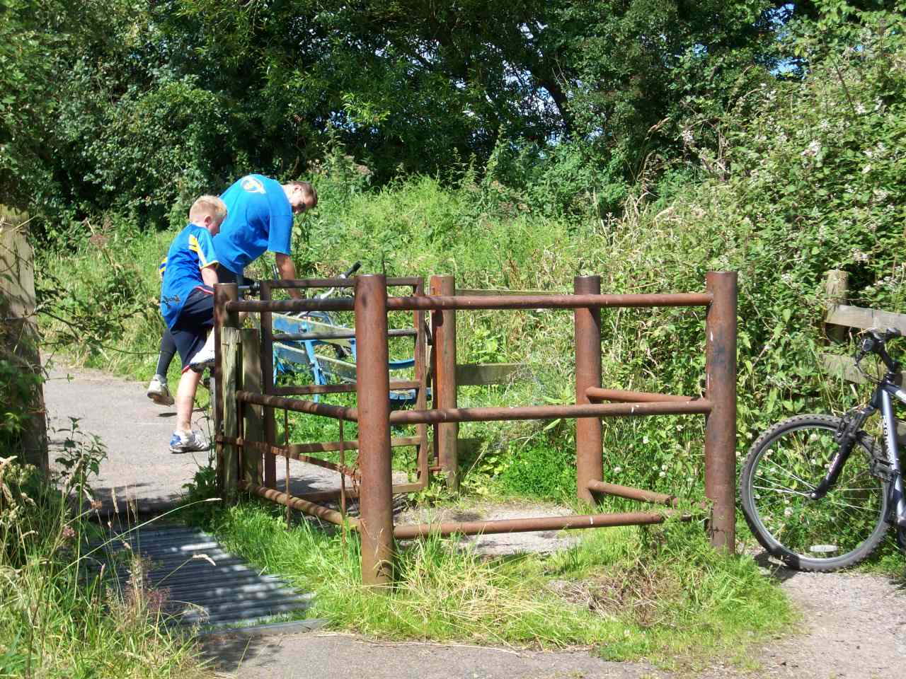
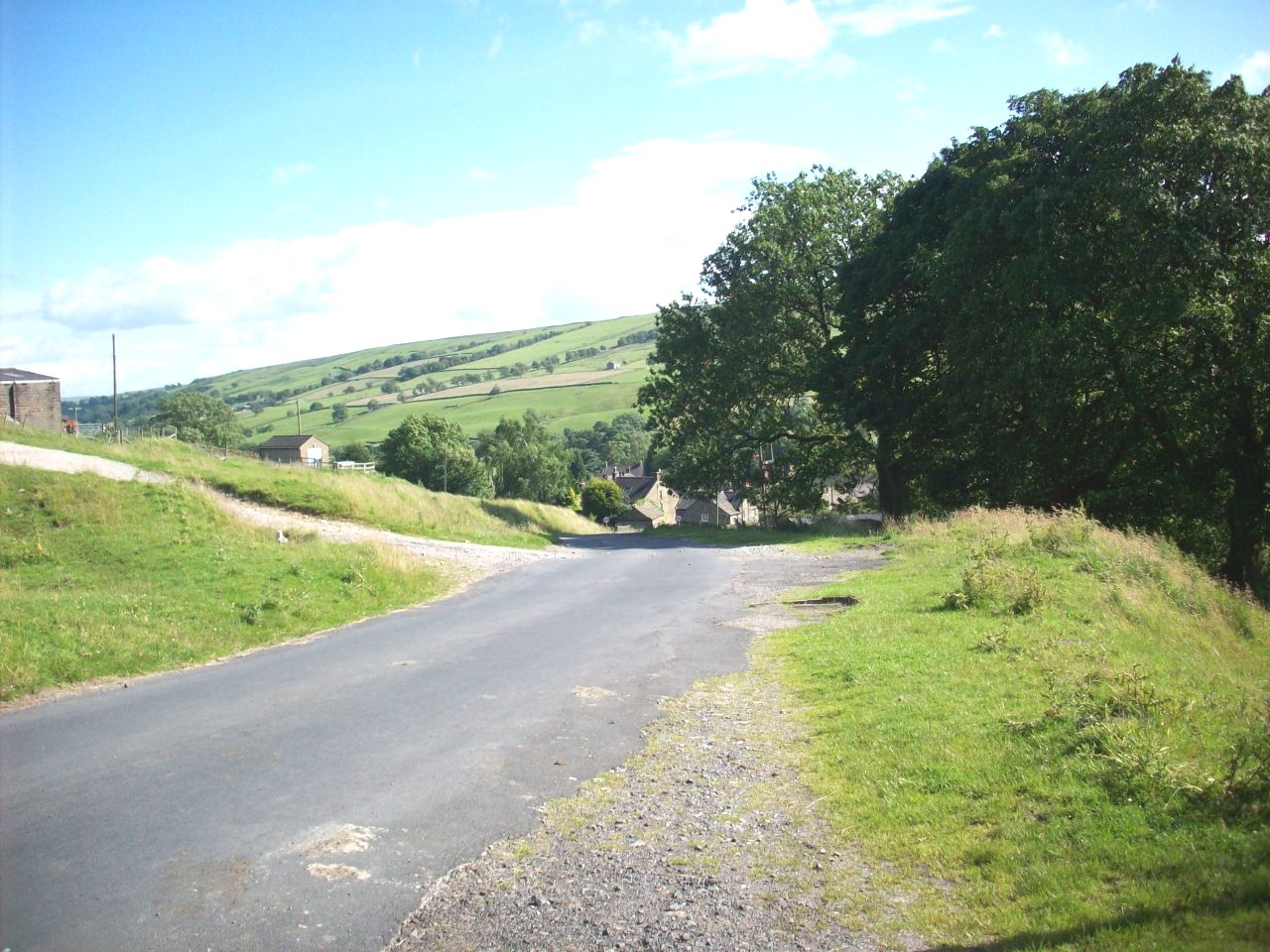
A taste of family cycling. This location is on The Beryl Burton cycle track between Bilton Hall and Knaresborough. |
|
|
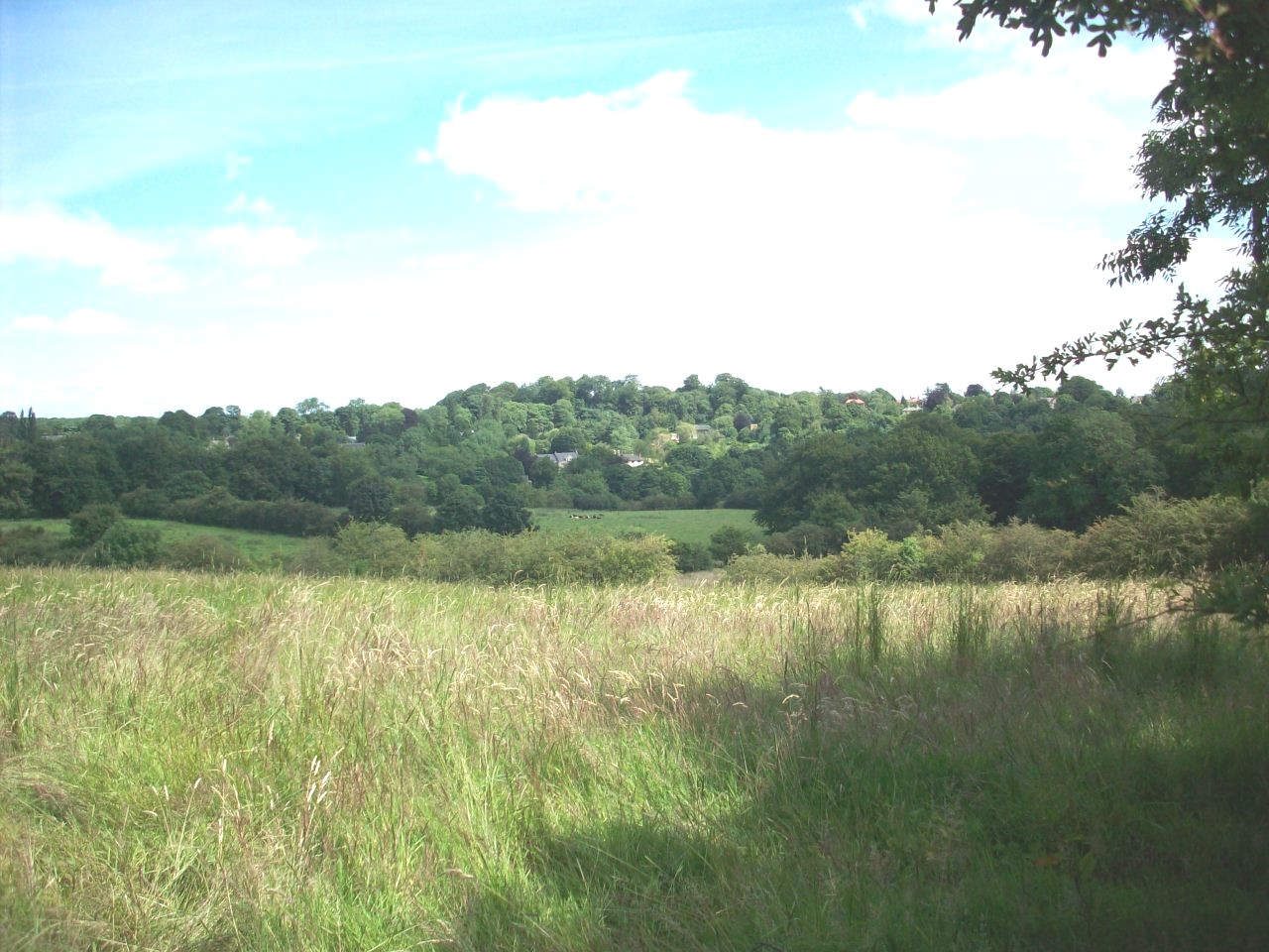
The Beryl Burton Cycle track. This scene is looking across the Nidd Valley over towards Scotton. |
|
|
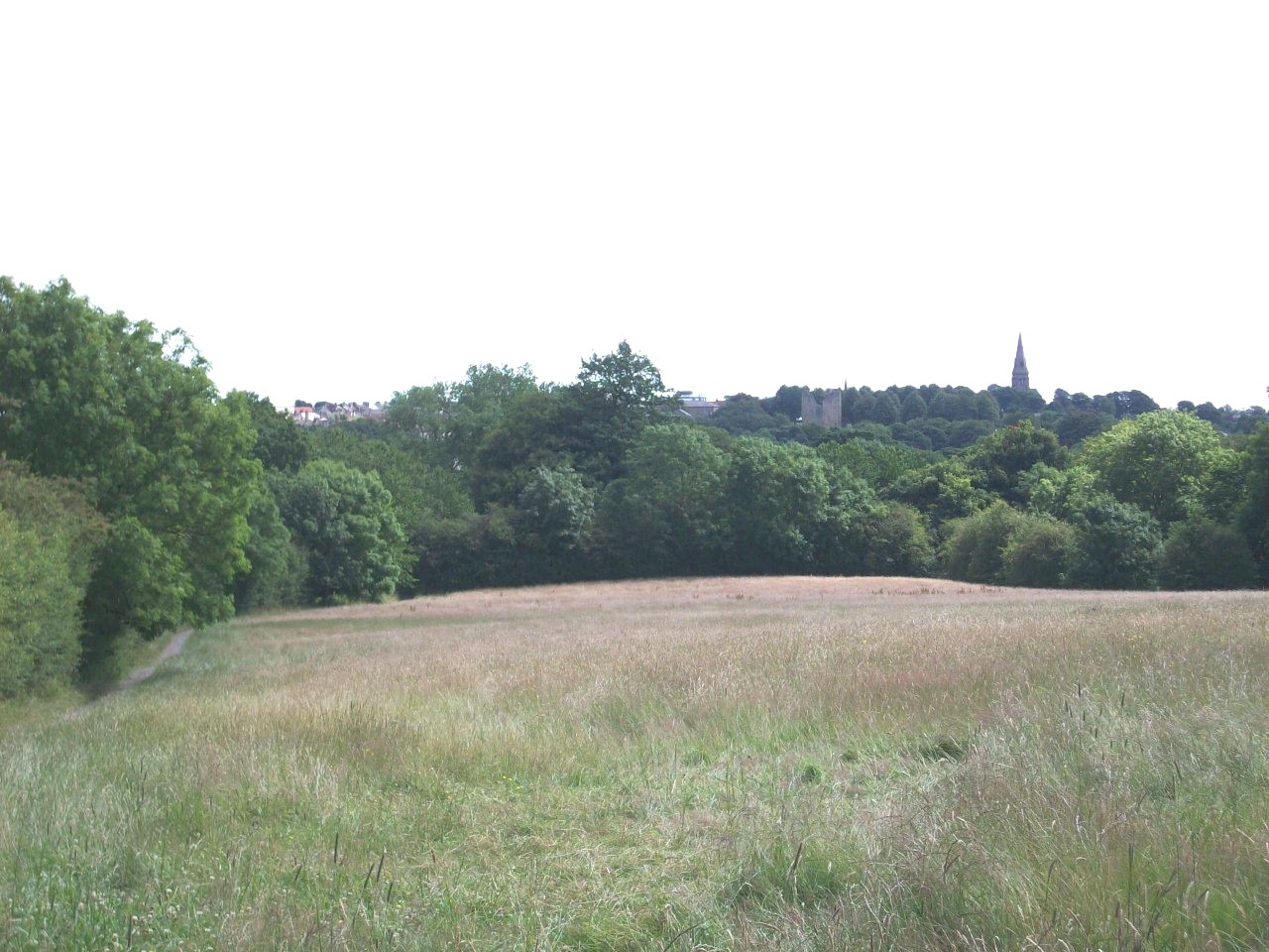
The long decend towards Knaresborough where you start to get grand views of the Castle and you need good brakes for this section as it is quite steep. |
|
|
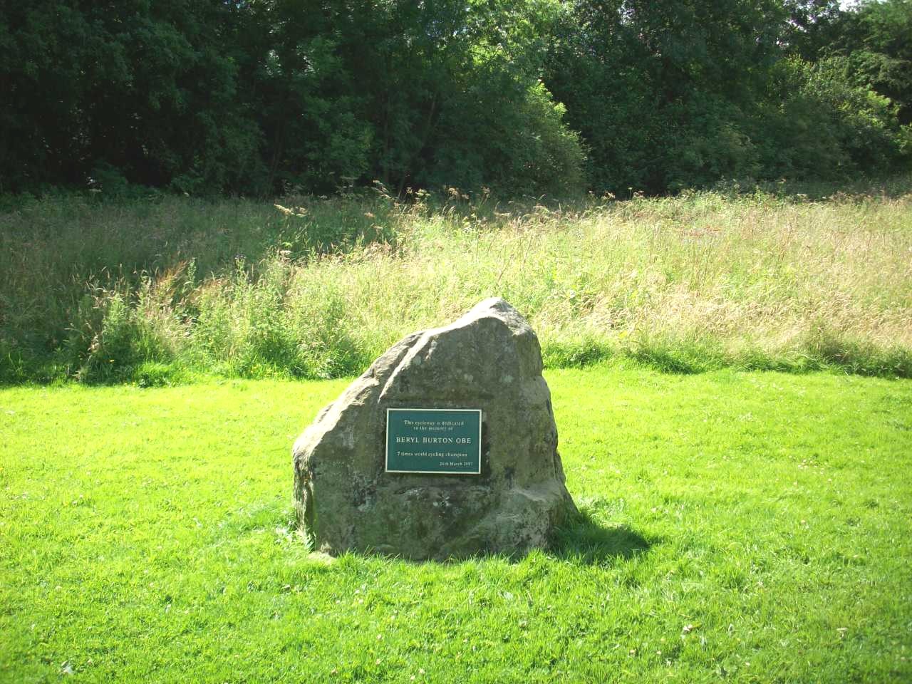
The Beryl Burton Memorial Stone. This Location is in Knaresborough, Just by the Nidd bank towards the end of this trail. |
|
|
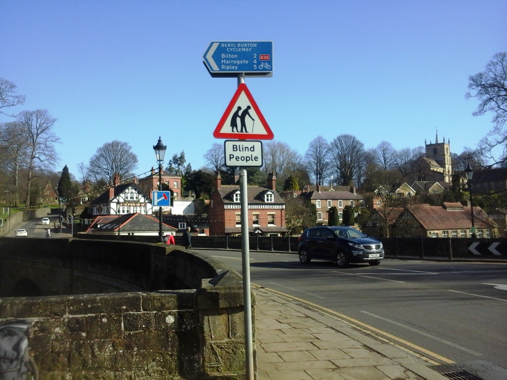
Complete new signposting of the Beryl Burton Cycle Route as you approach The Worlds End in Knaresborough. |
|
|
Knaresborough Nidd Gorge. This is looking towards its impressive Mother Shipton viaduct and is still part of the Harrogate to York railway line. |
|
|
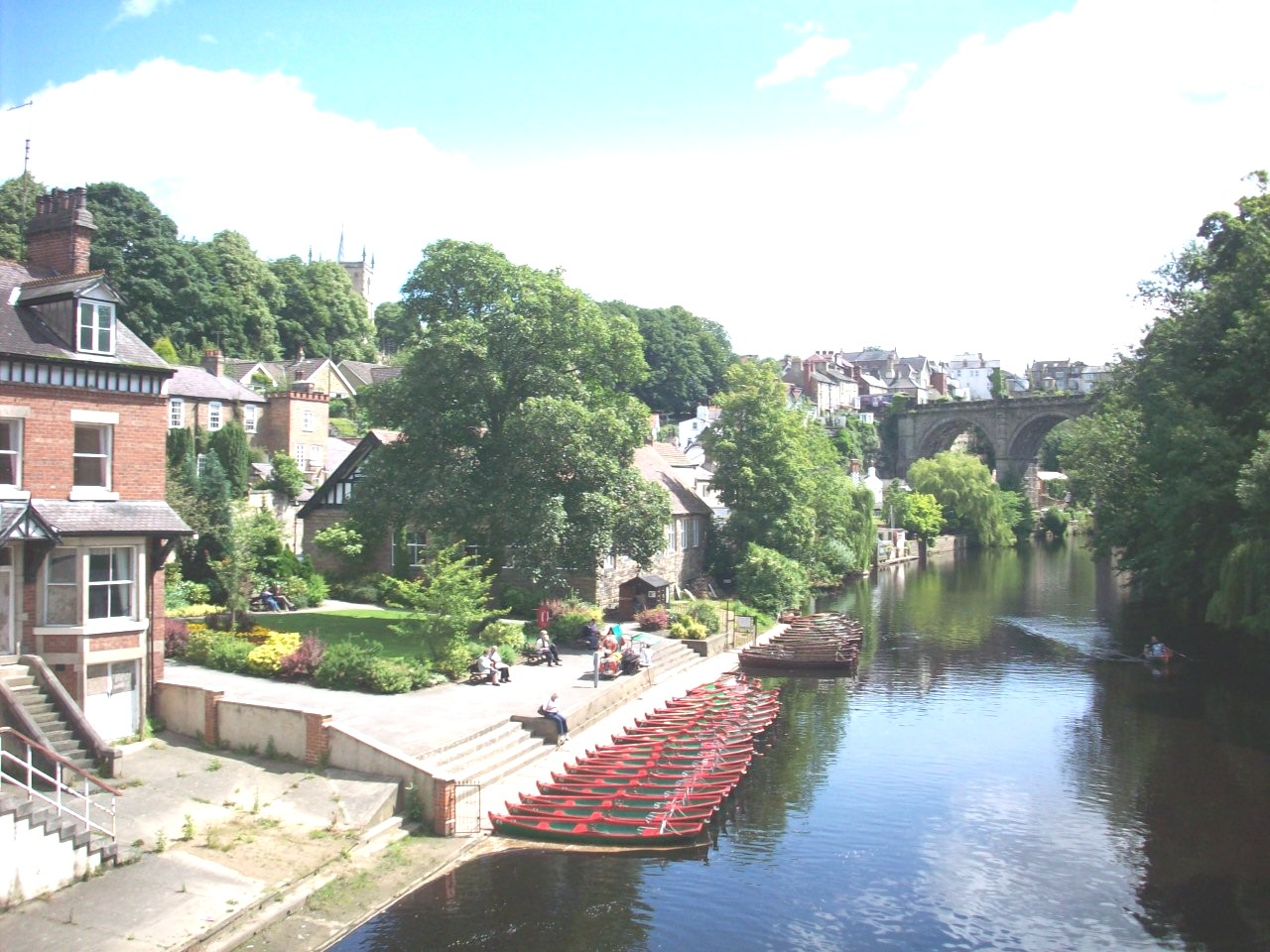
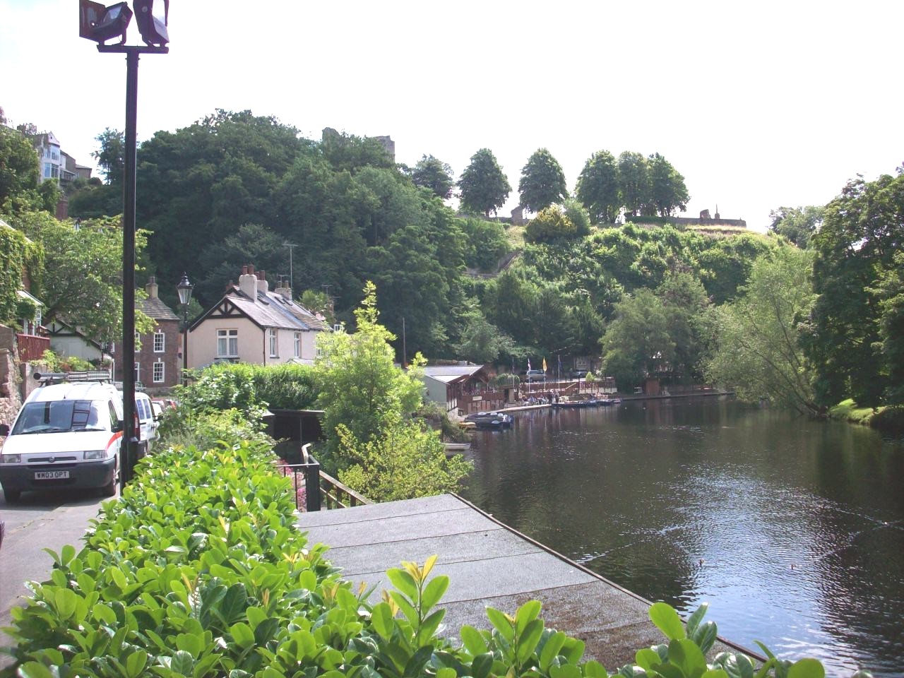
Knaresborough Nidd Gorge. This scene is looking south east towards the Castle Ruins and the riverside cafe, Where you can refresh for a snack. |
|
|
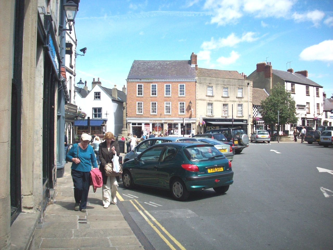
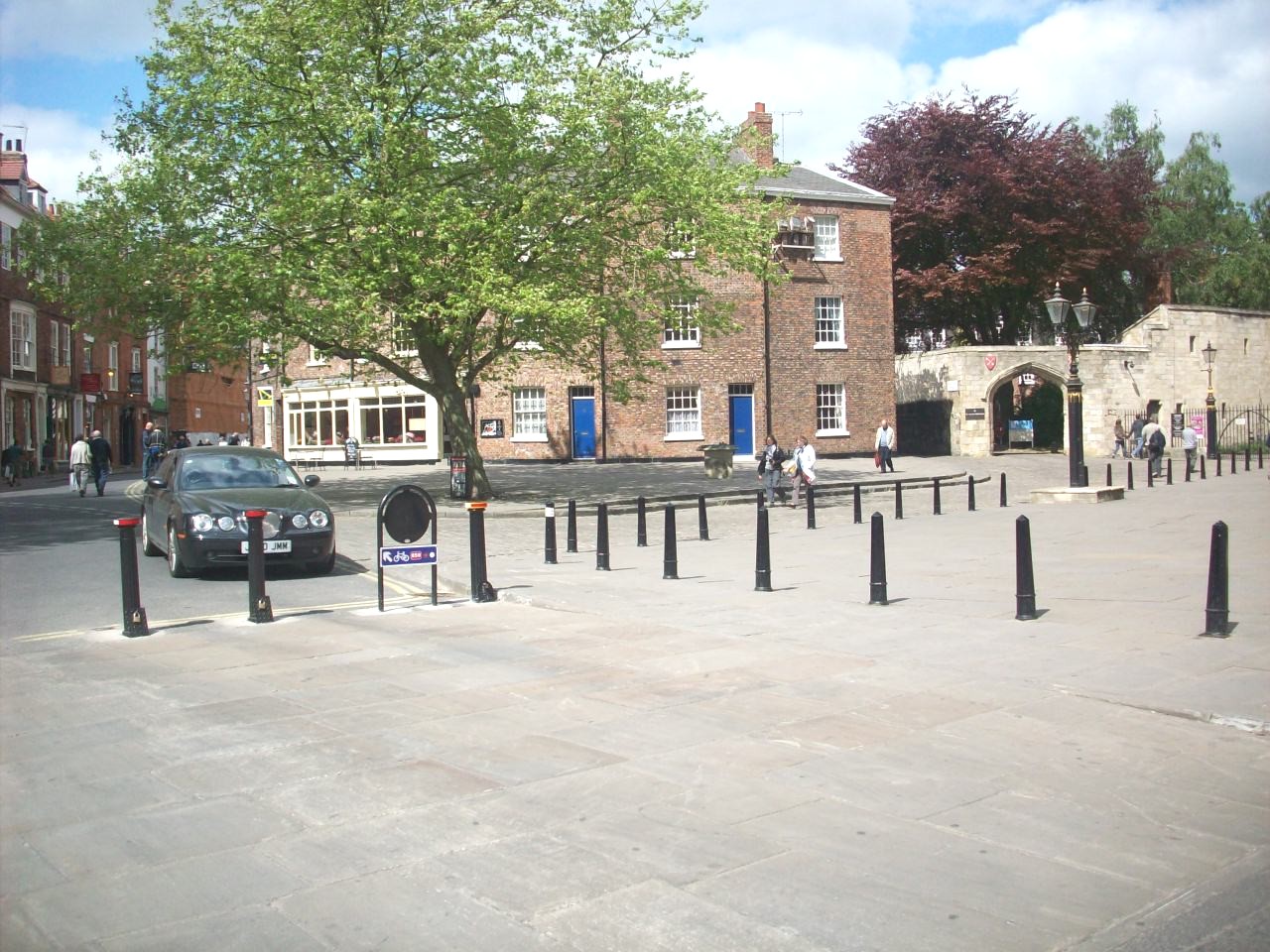
Knaresborough. This scene is looking into the Market Place and Knaresborough also forms part of the National Byway, Britain's Heritage Cycle route. |
|
|
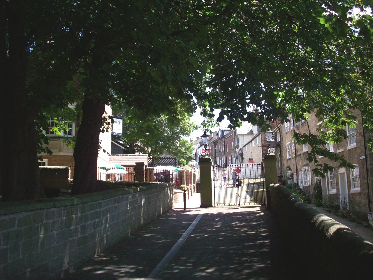
Knaresborough. This is in the Parish Church grounds looking across towards the railway station and the recent refurbished Mitre Hotel. |
|
|
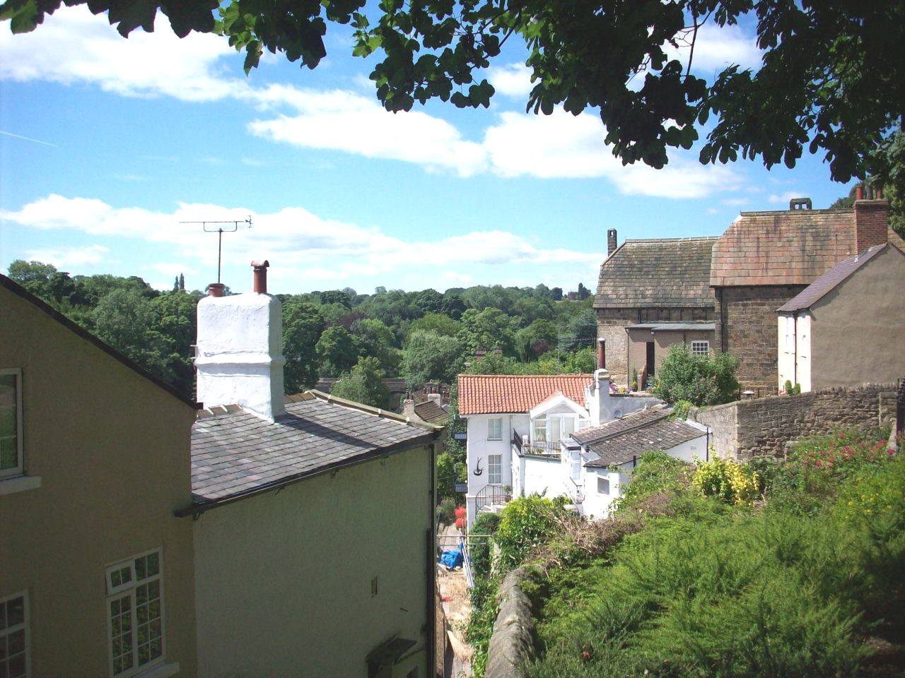
Knaresborough. This is looking from the Parish Church Grounds, Over the north west end of the waterside with grand views of Bilton Hall. |
|
|
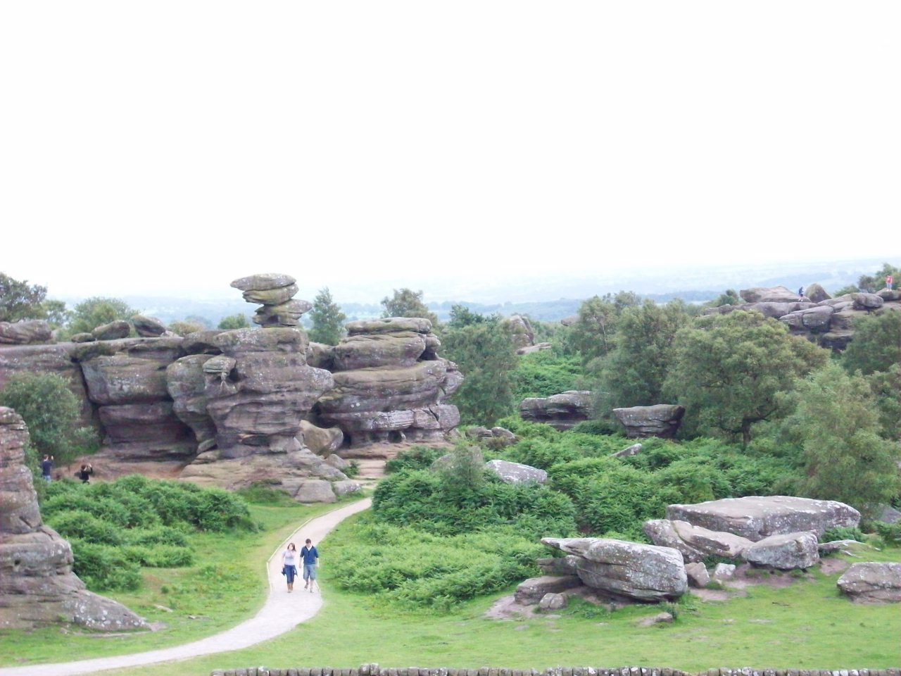
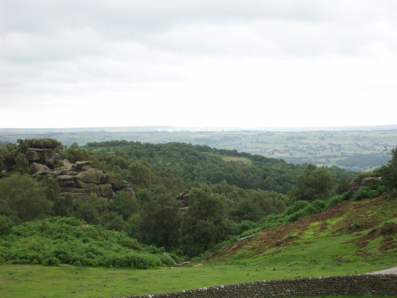
Brimham Rocks. A first taste of The Yorkshire Dales and there are impressive views from this location of York Minster and The North York Moors. |
|
|
Brimham Rocks. This scene dispite the poor visability is looking south towards Menwith Hill Camp. |
|
|
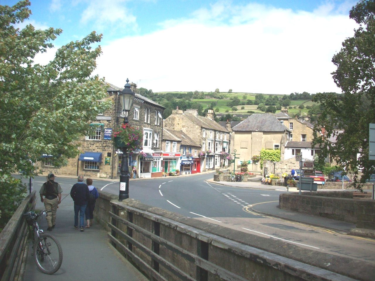
Pateley Bridge. The capital town of Nidderdale and there are plenty of good bridletrack routes for mountain bikes located near this location. |
|
|
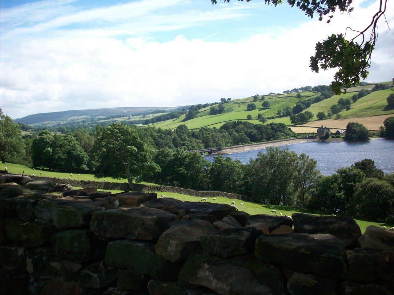
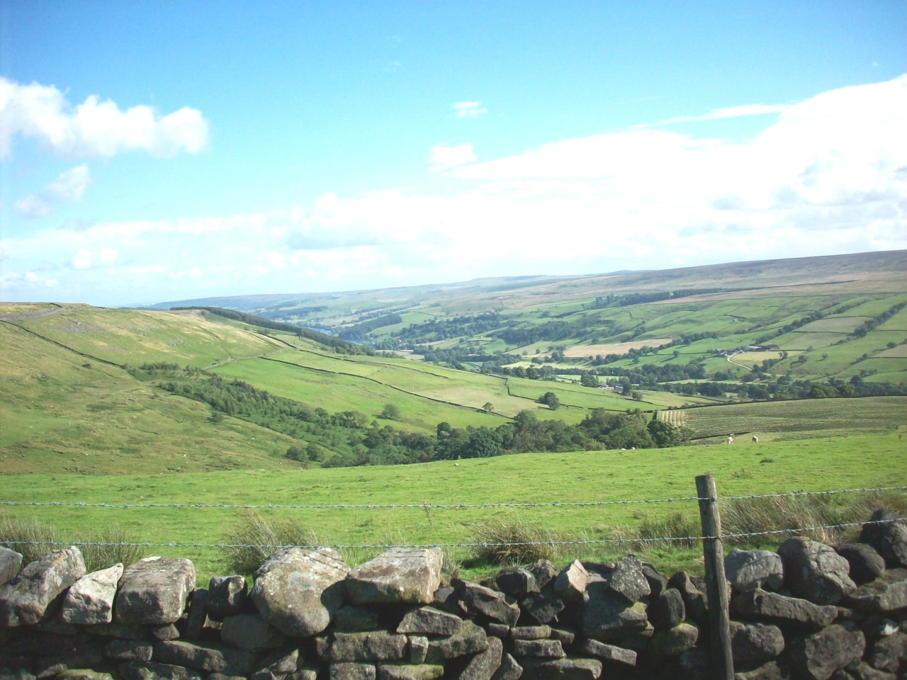
This scene is in Nidderdale, On the bridleway looking over towards Gouthwaite Reservoir, With splended views over Heathfield Moor. |
|
|
The lovely Nidderdale village of Ramsgill, Where you can rejoin the bridlepath to Lofthouse and where you start to get the taste of real Nidderdale. |
|
|
The Bridlepath and Nidderdale Way near Lofthouse and this is where you start to get the most scenic views of this dale which always stays in memory. |
|
|
Lofthouse. This is looking back into the Nidderdale village of lofthouse and is part of the long steep climb up to Masham Moor. |
|
|
The last sight of Nidderdale. This is looking from High Lofthouse and was taken on the long steep road to Masham. |
|
|
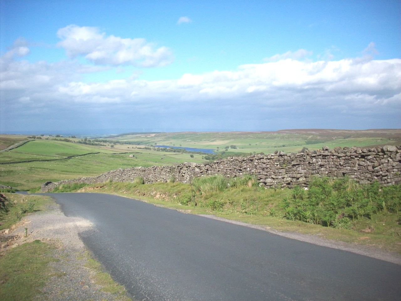
This scene is the climb from Lofthouse Moor on my approach to Masham and there are grand views of Roundhill Reservoir |
|
|
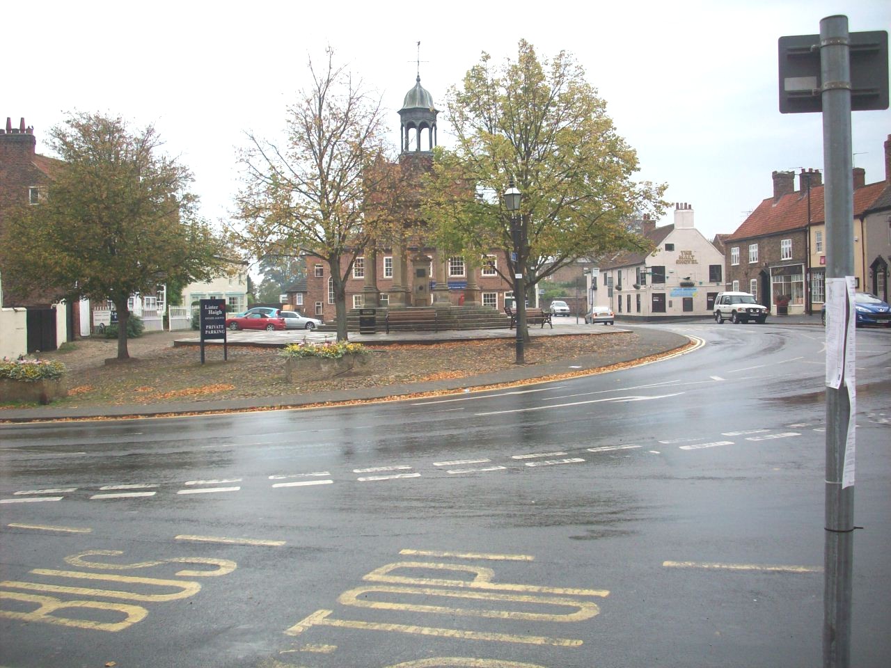
The lovely small Wensleydale town of Masham and is located on The National Byway. It is also a good cycle touring route to the Dales. |
|
|
The Historic Cathedral City Of Ripon. Located at the foot of Wensleydale on a loop of The National Byway. |
|
|
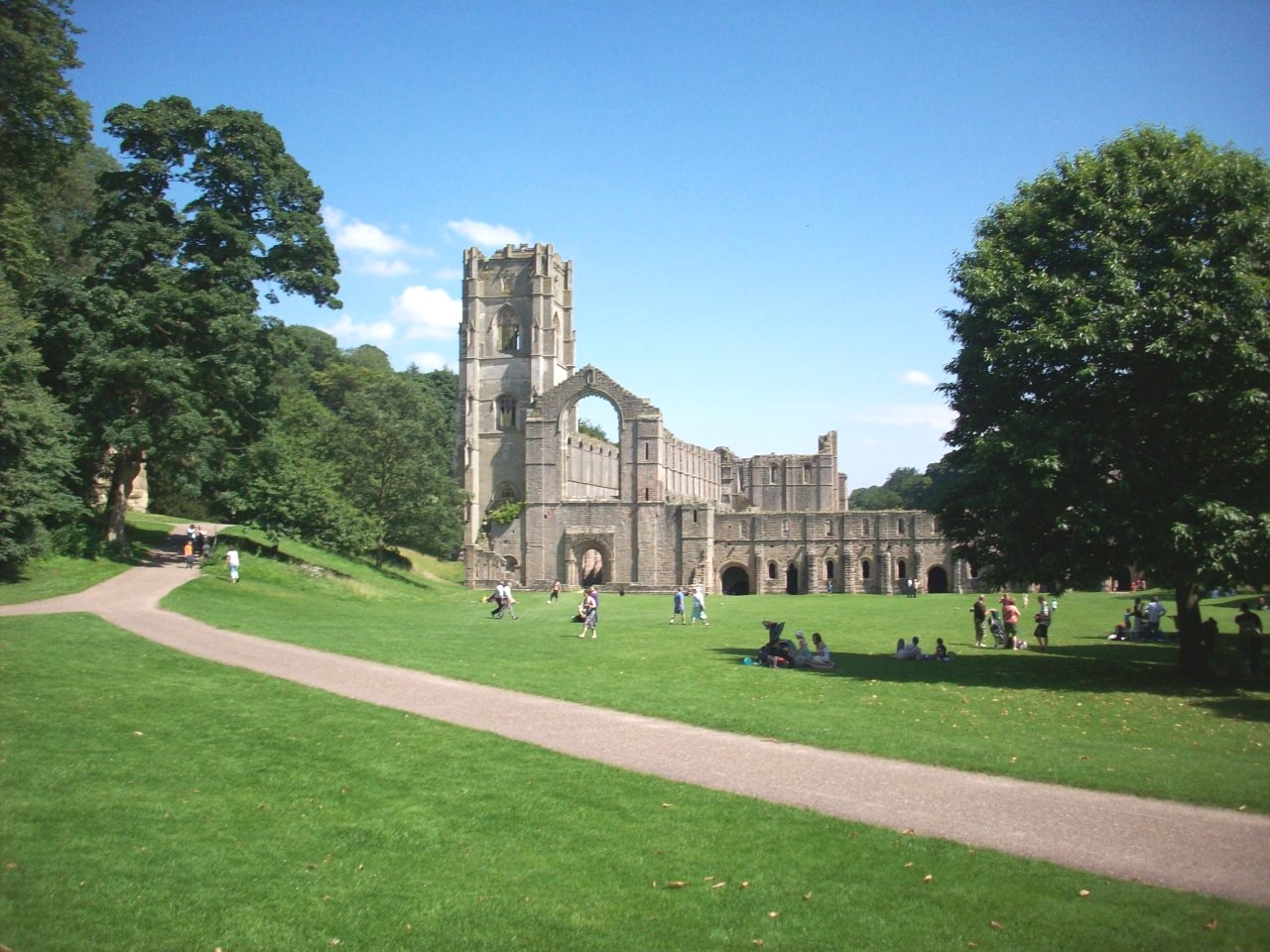
The World Heritage Site of Fountains Abbey. Located on the Eastern Dales Route of The National Byway, A great day out to remember of a cycle tour. |
|
|
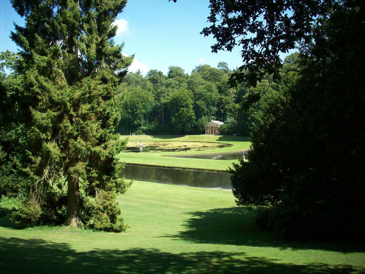
Studley Royal Gardens. Located on the east side of the Fountains Abbey estate and this scene is looking across to The Moon Pond. |
|
|
Burton Leonard. One of the many pretty villages on The National Byway, Located between Knaresborough and Ripon. |
|
|
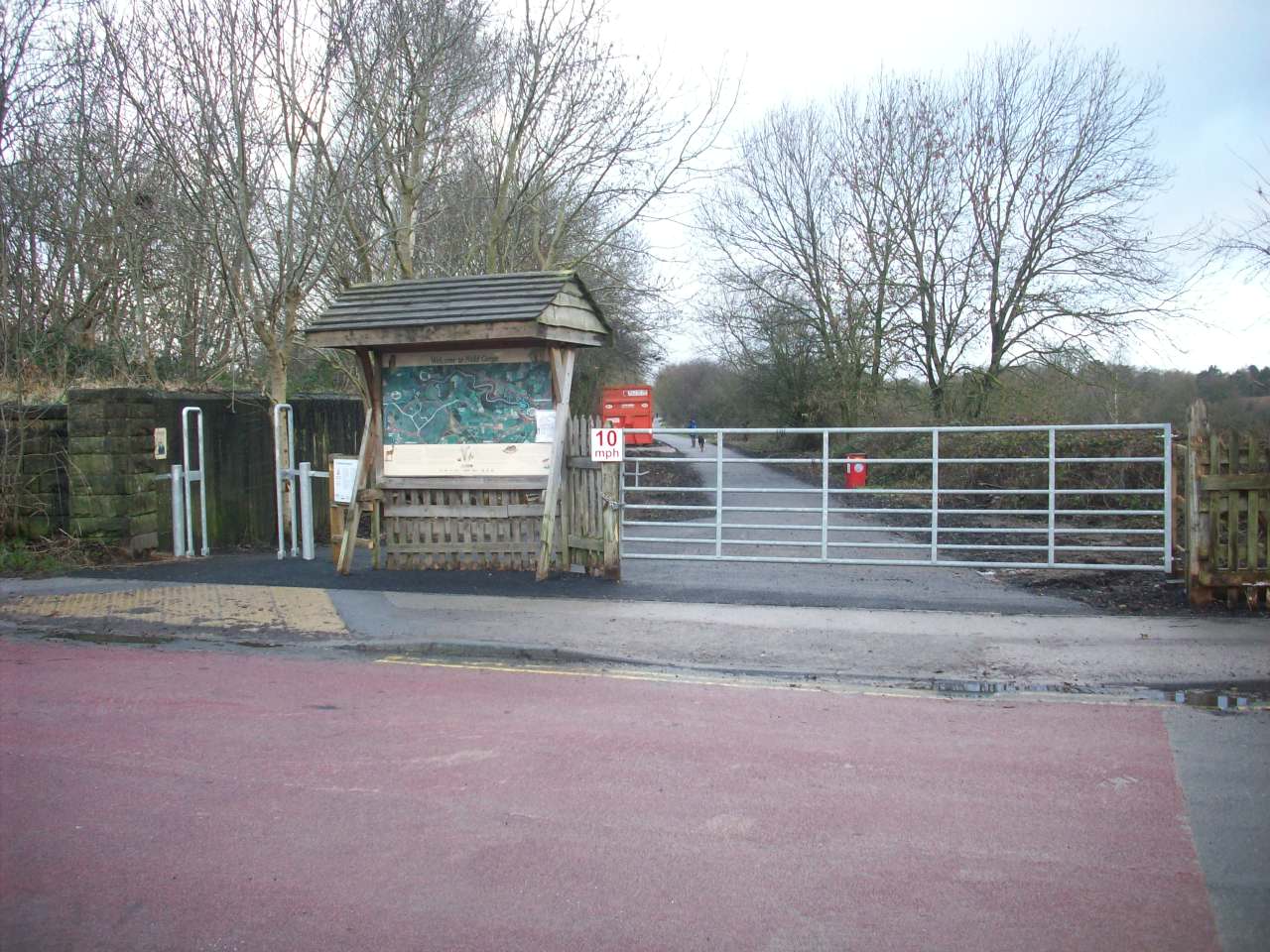
The start of the new Nidderdale Greenway cycle route at Bilton Lane. This used to be Bilton Junction during the Harrogate to Ripon Railway days. |
|
|
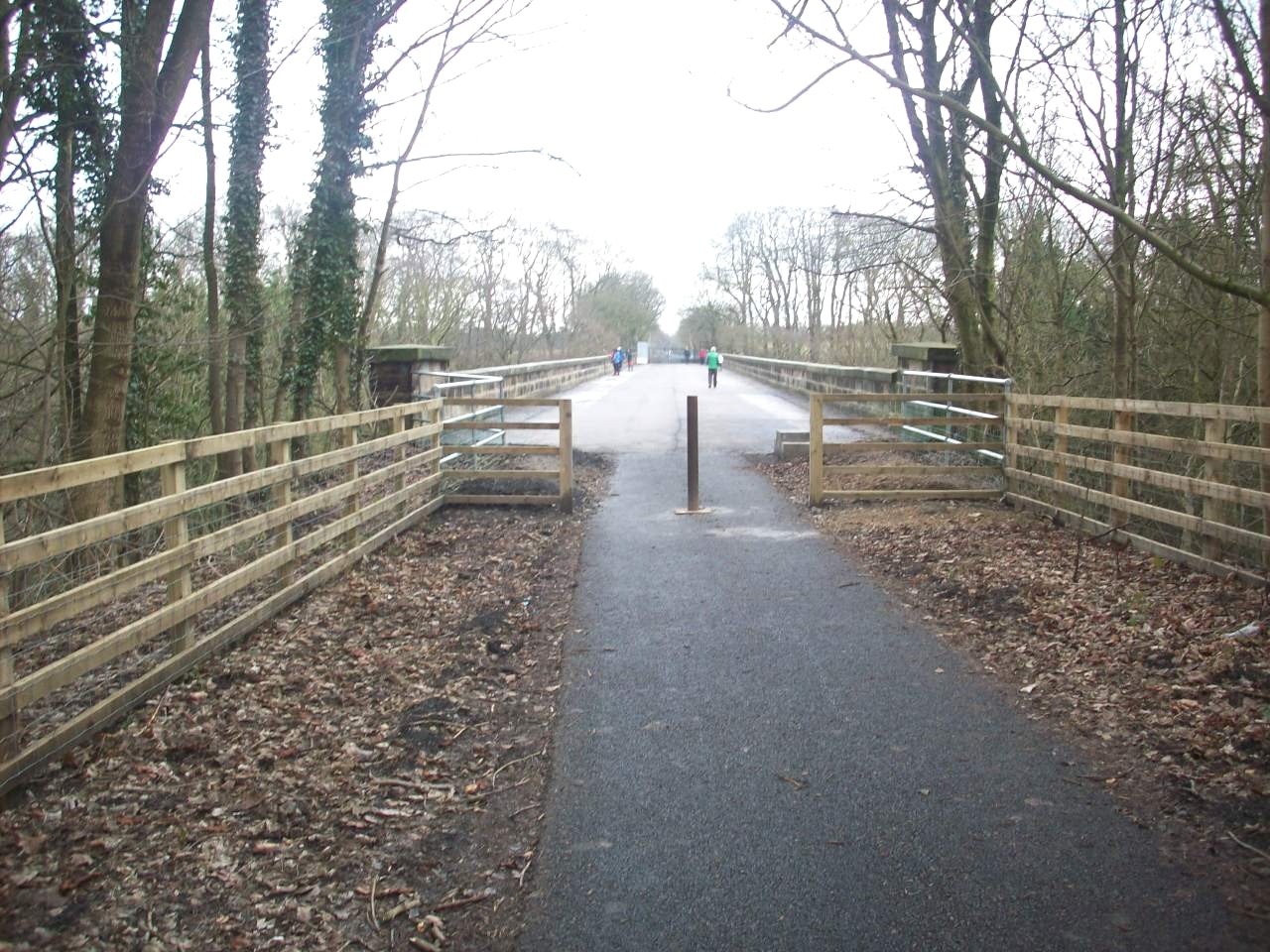
This scene is the newly opened section of The Nidderdale Greenway as you approach the Grade listed 2 Nidd Viaduct.in the southerly direction to Bilton |
|
|
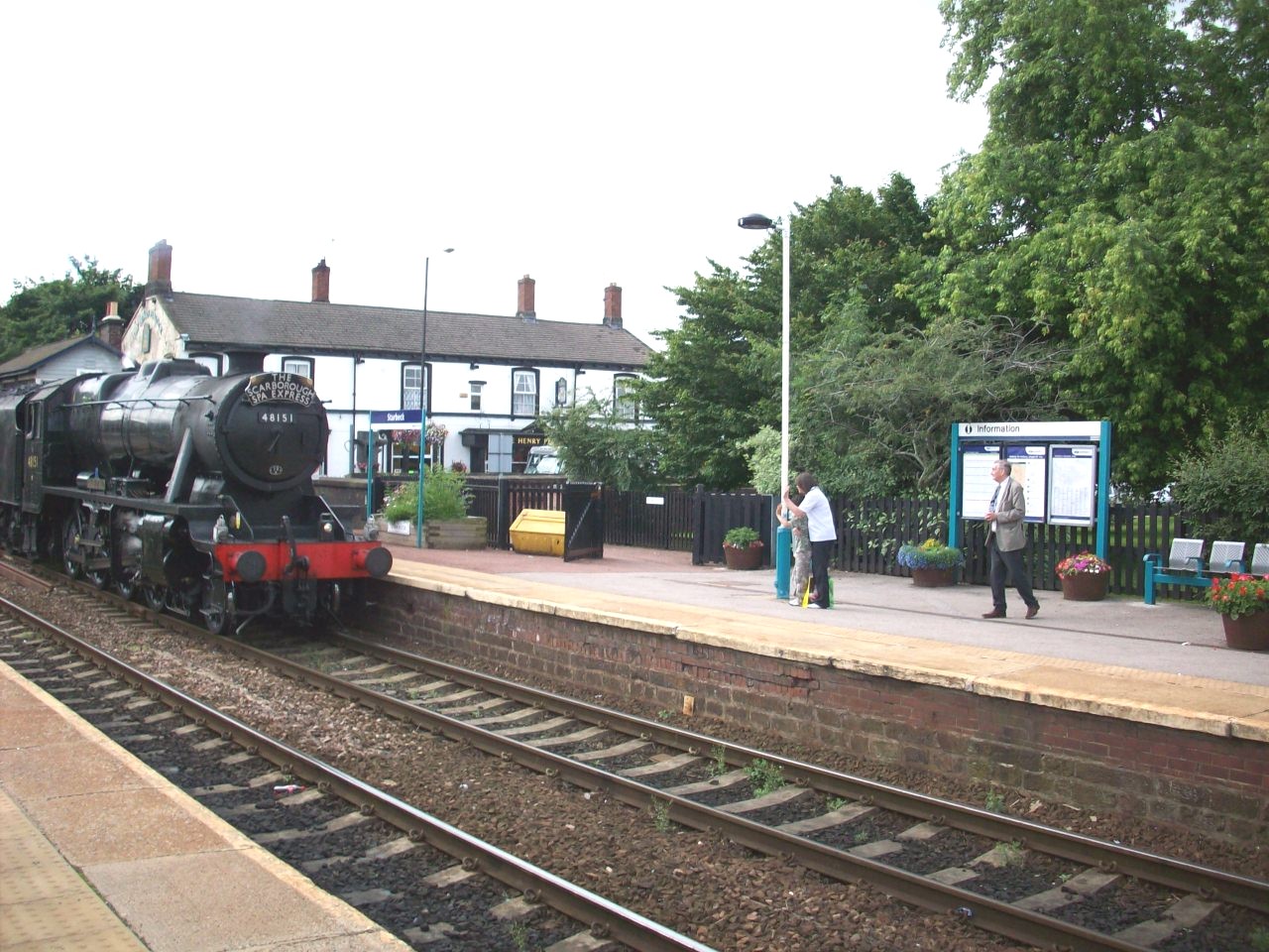
Starbeck Railway Station. Situated not far from the link route of the Beryl Burton Cycle Route and this is a reminder of Steam Days on the old tracks |
|
|
On road cycle route map of this Nidderdale cycle tour excluding the Bridleway tracks and Ordnance Survey 1:50 000 are strongly recommended |
|
|
Follifoot. Situated about 2 miles south east of Harrogate. This village has a long history association with horse sports. |
|
|
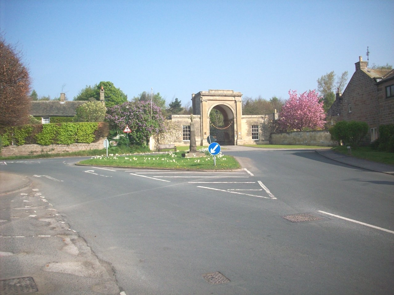
Spofforth Castle. 13th Century ruin located in the pleasent village of Spofforth loacted on National route 67 about 5 miles south east of Harrogate. |
|
|
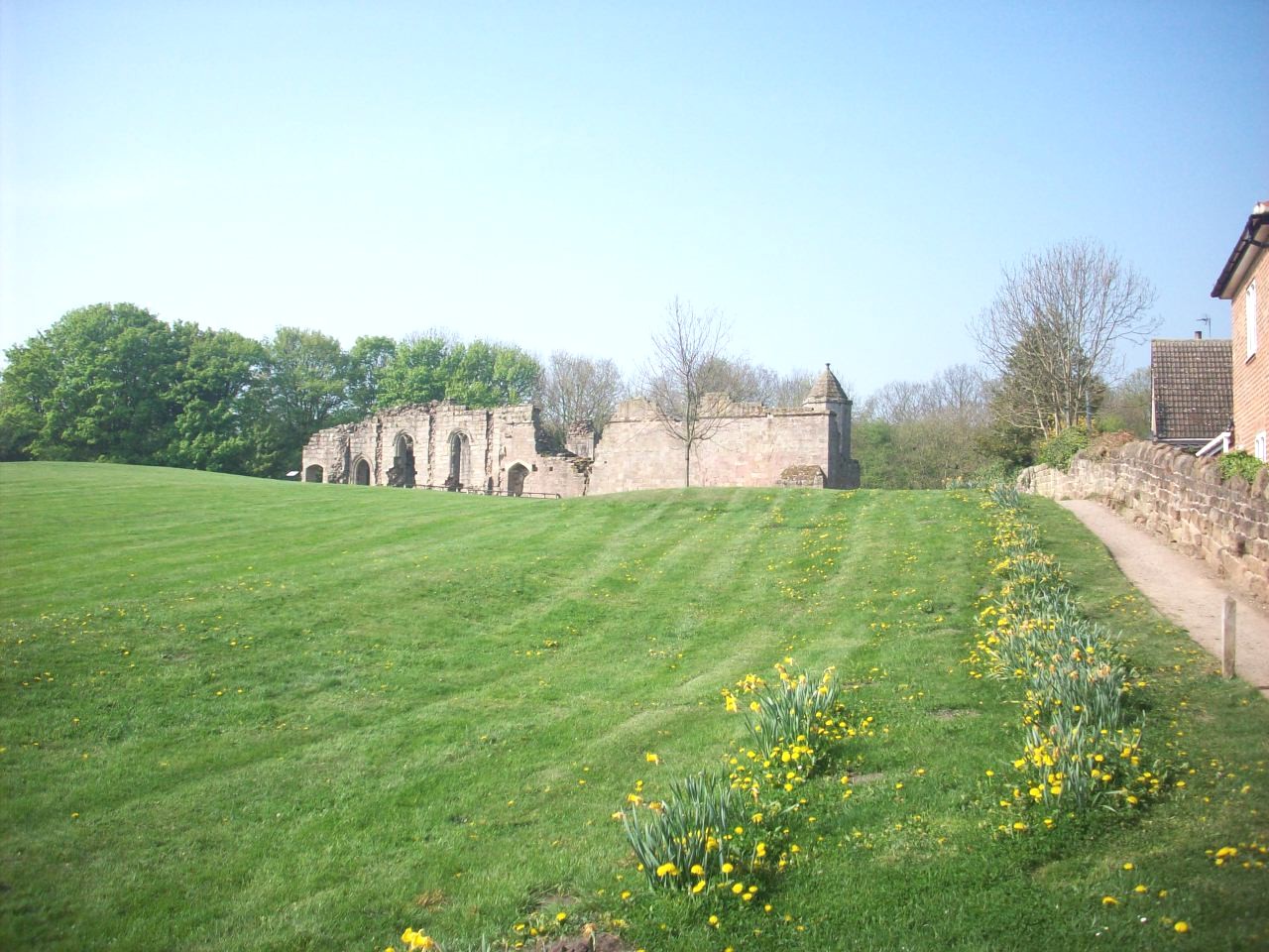
Spofforth. Situated in the low Cimple Valley. Spofforth was also home to the 18th Century road builder, Blind Jack Metcalf. |
|
|
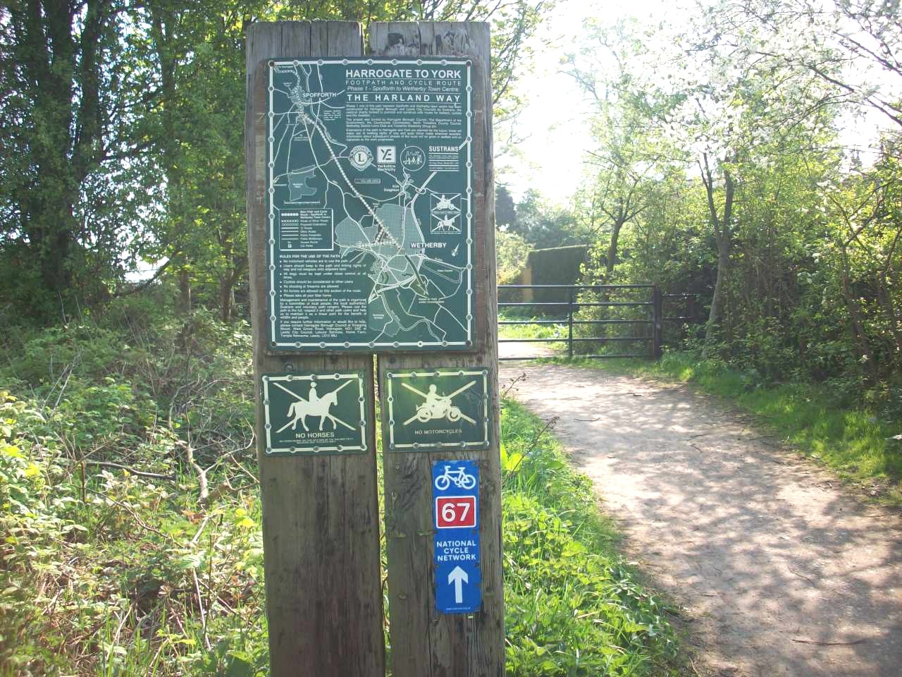
The Harland Way. The traffic free sustrans cycle route 67, Spofforth to Wetherby section. This location is the entrance at Spofforth. |
|
|
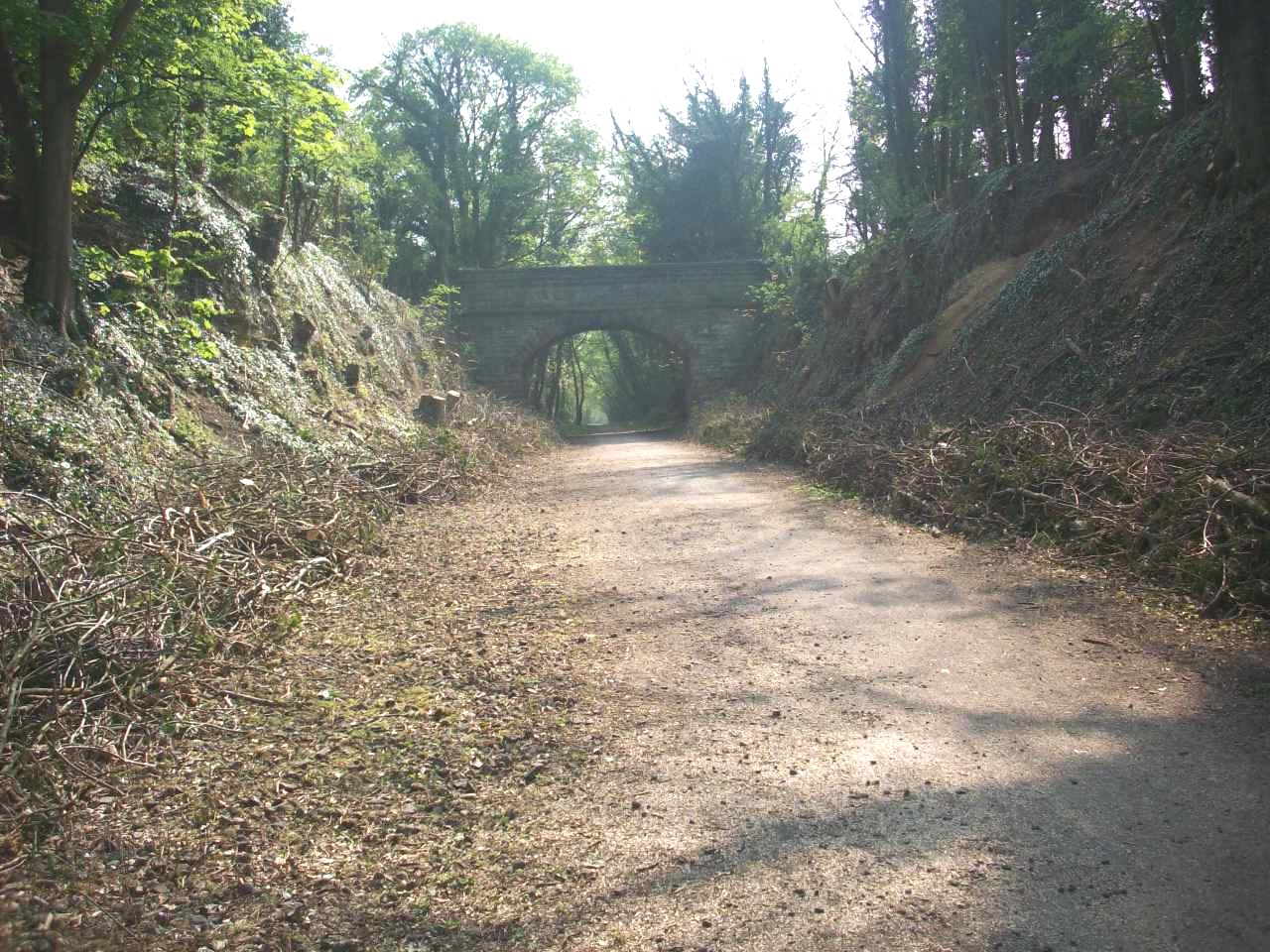
The Harland Way Cycle path. This location is near Wetherby and used to be part of the Harrogate to Church Fenton Railway. |
|
|
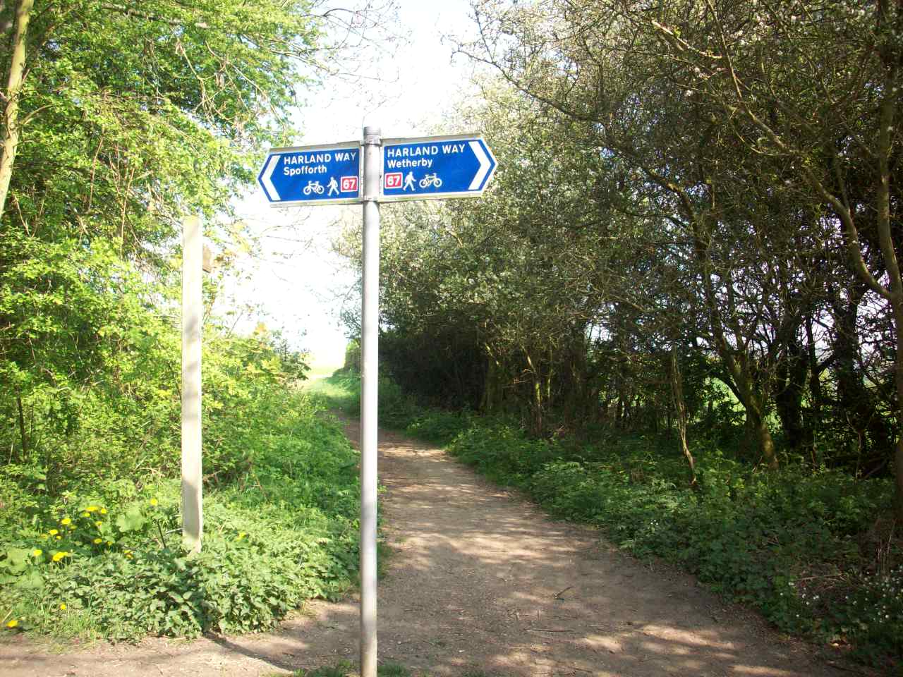
The Harland Way. This is the signposting located between Wetherby and Spofforth. This Railway also became a victim of closure during the 1960s. |
|
|
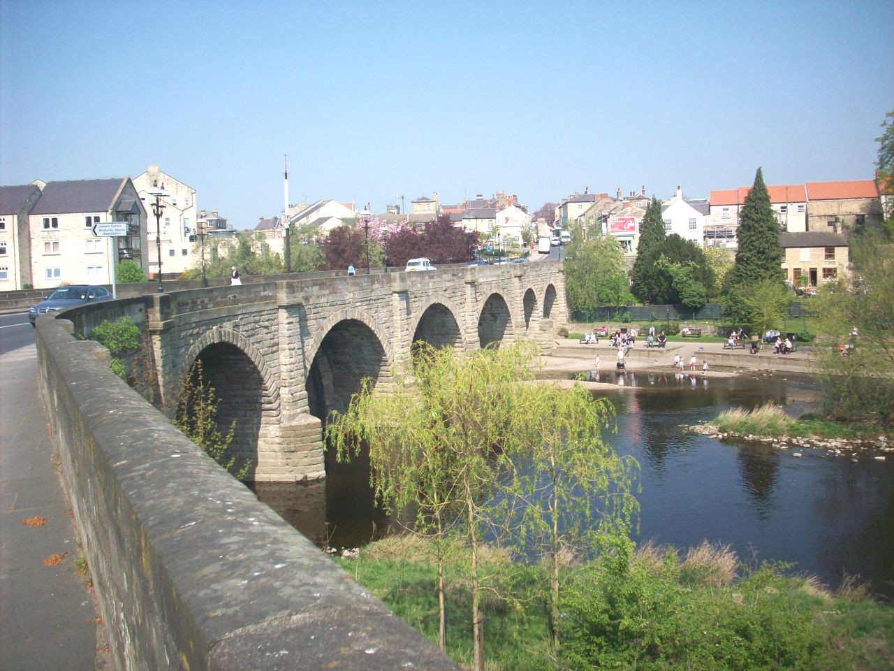
Wetherby. Pleasent lower Wharfedale town situated about 9 miles south east of Harrogate on the Sustrans route 67 to York. |
|
|
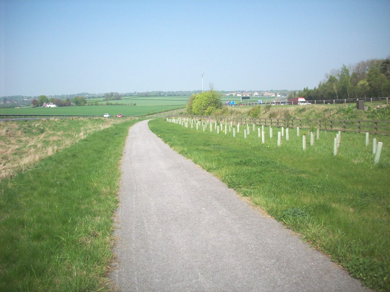
The new Wetherby to Bramham cycle route that runs parallel to the A1 M Great North Road. This scene is approaching in the direction of Wetherby. |
|
|
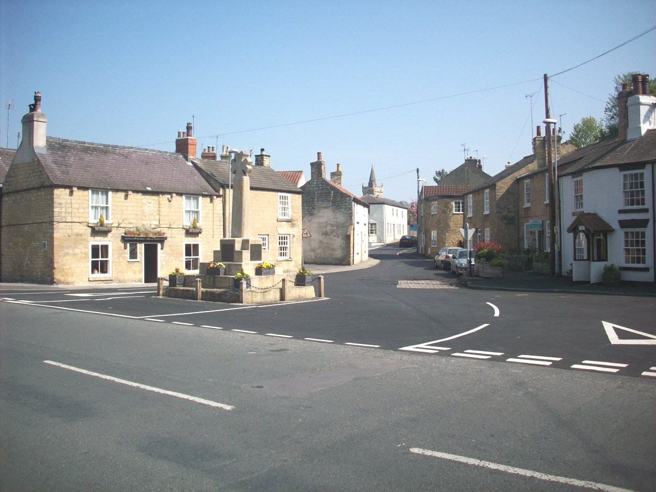
Bramham. Pleasent old Coaching Inn village Located 4 miles south of Wetherby on the A1 Great North Road and is famous for its Summer horse trail. |
|
|
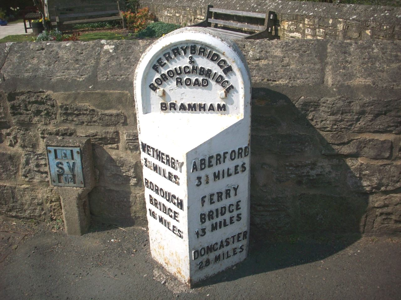
Bramham. This milestone gives evidance of the original A1 Great North Road, long before it was bypassed and later became the A1 M. |
|
|
|
Harrogate to York cycle route. This is the onroad route avoiding the Harland Way and involves short busy sections of A Road out of Spofforth |

|
|
The Recommended traffic free cycle route to Wetherby and Thorpe Arch Trading estate, if you intend to go eastwards to York or the East Coast. |
|
|
Askham Richard. Pleasent Conservation village located about 6 miles southwest of York and is the Knaresborough strand of The Roses Cycle Route. |
|
|
The City Of York. The Capital centre of Yorkshire and this location is in the Minster Grounds, part of the new Roses coast to coast, cycle route 636. |
|
|
|
Knaresborough to York cycle route. This is to be the proposed Sustrans route of the Roses, when the Bilton to Ripley cycle route is completed. |
|
|
Boroughbridge. Historic Market Town situated on the A1 Great North Road about 7 miles south of Ripon. This is also halfway of the Roses cycle route |
|
|
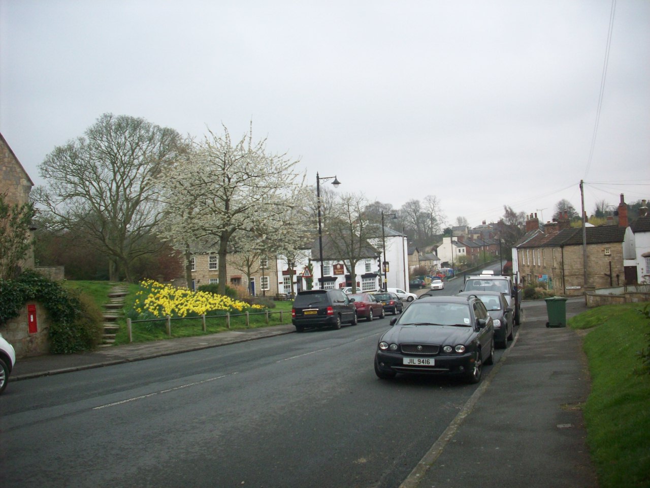
Aberford. Pleasent historic village Situated about 7.5 miles south of Wetherby on National Cycle Route 67. Also refered as the old Kingdom of Elmet. |
|
|
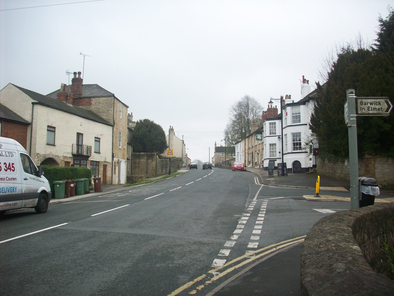
Aberford. This is in the middle high street of this historic village situated on the old Great North Road between London and Edingburgh. |
|
|
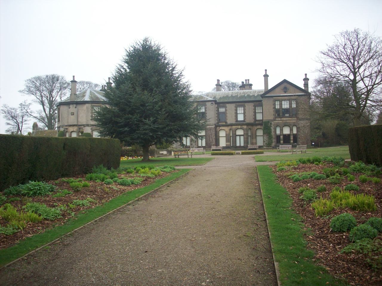
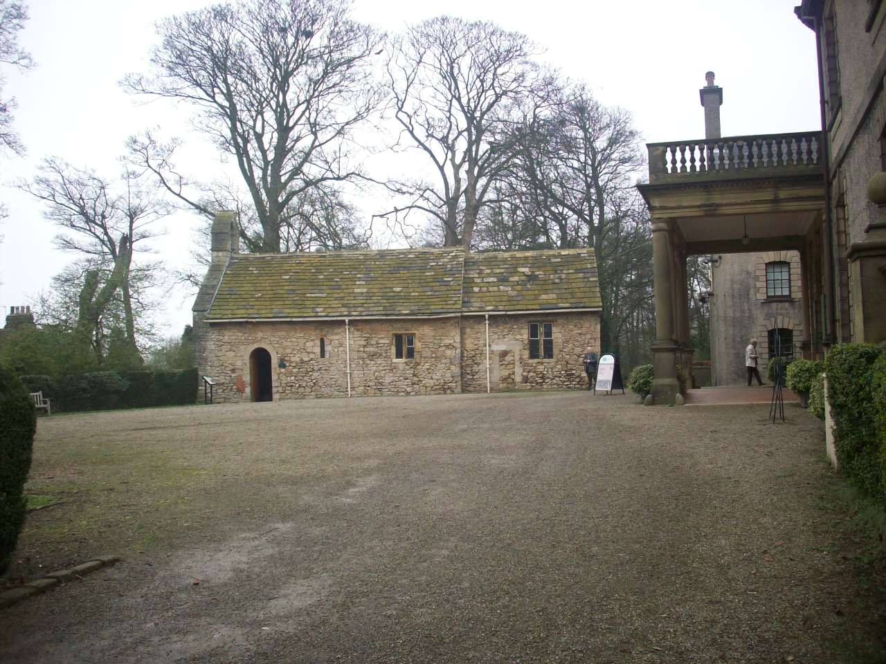
Lotherton Hall. Situated about 1 mile east of Aberford and like Fountains Abbey it is one of Yorkshire's most grand tourist attractions. |
|
|
Lotherton Hall. This scene is entrance to the museum and art gallerie and once home to the Gascoigne family. |
|
|
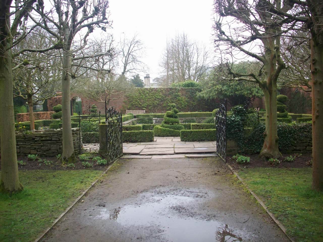
Lotherton Hall. This is one of the grounds loveliest landmarks known as its Walled Garden. |